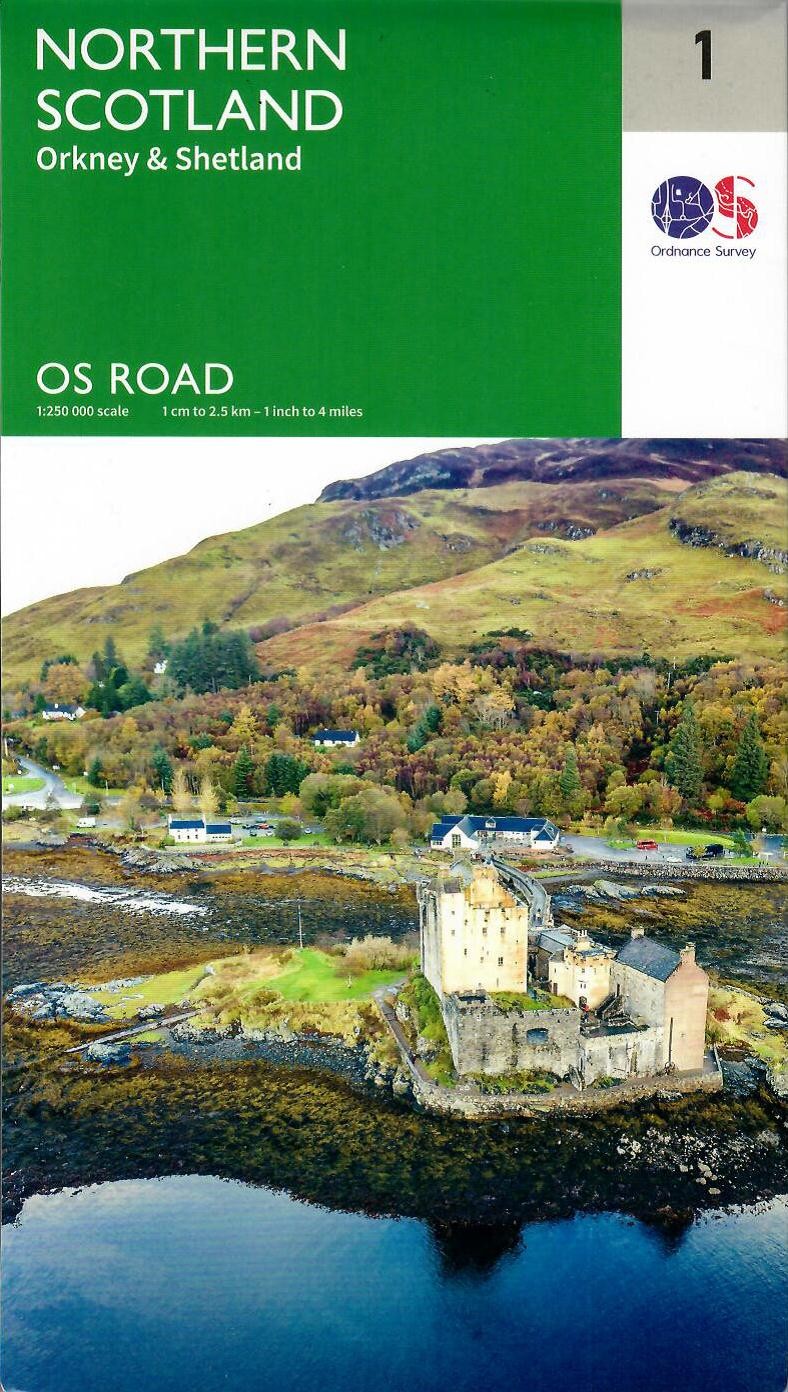
Your basket is currently empty!
Northern Scotland, Orkney & Shetland – 1 – OS Road Map
£7.99
Ordnance Survey Map.
Northern Scotland, Orkney & Shetland, 1, OS Road Map.
1:250 000 scale, 1cm to 2.5km – 1 inch to 4 miles.
Description
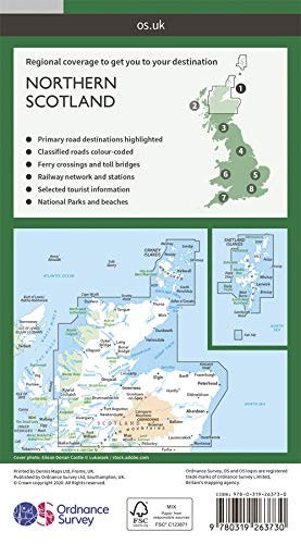
Regional coverage to get you to your destination.
– Primary road destinations highlighted.
– Classified roads colour-coded.
– Ferry crossings and toll bridges.
– Railway network and stations.
– Selected tourist information.
– National Parks and beaches.
Additional information
| Weight | 0.133 kg |
|---|---|
| Dimensions | 23.9 × 13.3 × 1.5 cm |


