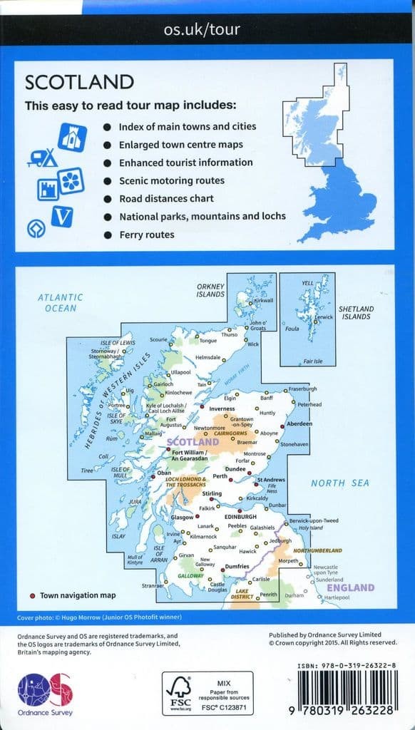
Description
This easy to read tour map includes:
– Index of main towns and cities.
– Enlarged town centre maps.
– Enhanced tourist information.
– Scenic motoring routes.
– Road distance chart.
– National parks, mountains and lochs.
– Ferry routes
If you’re taking a holiday or day trip you won’t miss a thing with this OS Tour Map. With clearly marked roads and cycle routes – it’s easy to plan trips to explore all the popular tourist attractions shown. Whether it’s historic sites, national parks, sporting activities or wildlife attractions, we have them all highlighted.
With easy-to-follow town centre maps, a simple place name index, service areas and useful, up-to-date information including camp sites and pubs this map will make your life easier away from home.