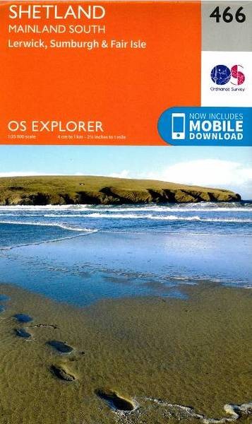
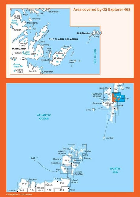
Description
Whether you are hiking in the hills, taking your dog for a walk, your horse for a trot or your family for a bike ride, an OS Explorer Map is the ideal companion to help keep your outdoor activities on track.
The detailed scale of 1:25 000(4cm to 1km) means that bridleways, cycle trails and paths are clearly shown.
In addition, you will find a wealth of visitor information, from stately homes, museums and gardens open to the public to camping/caravan sites and selected country pubs.